s
c
r
o
e
r
Join our community
wyoming
@shadedrelief
Source
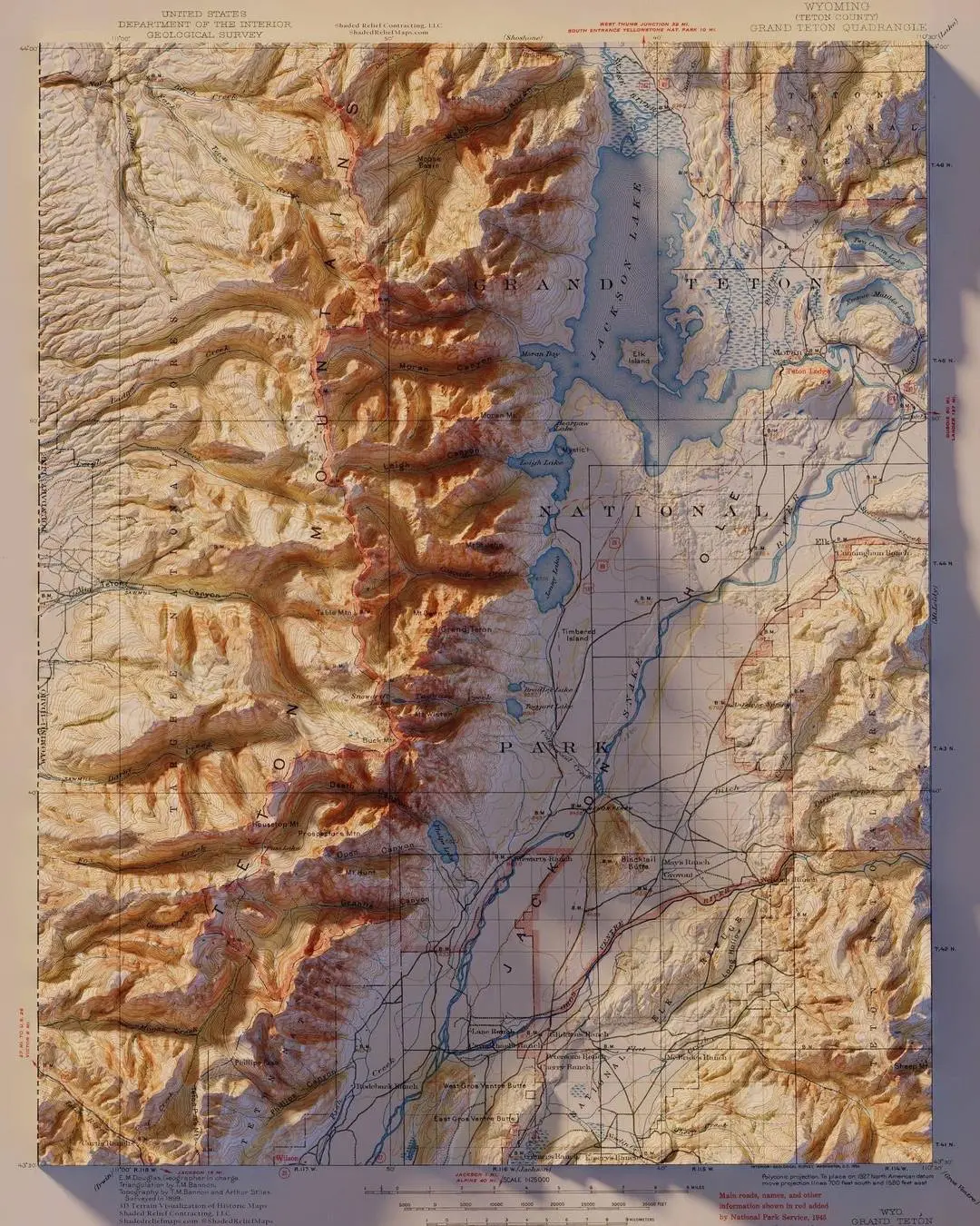
I take old maps and render them in 3D using current day elevation models. This is a map of Grand Teton National Park from 1945
0
0
Auto
More like this
Home
Discover
Upload
Collection
Login