s
c
r
o
e
r
NSFW
Get Premium
yellowstone
@shadedrelief
Source
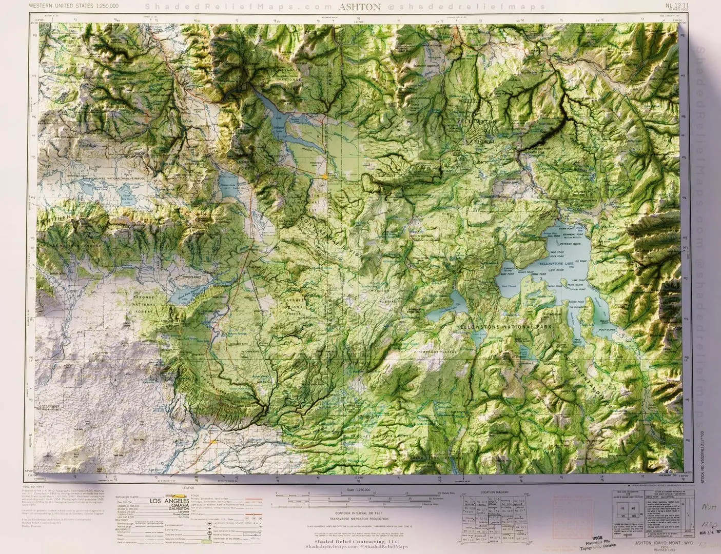
I take old maps and render them in 3D using high resolution elevation data. This is Yellowstone from a 1958 USGS topo of the Ashton quad
0
0
0
Auto
More like this
Home
Discover
Upload
Collection
Login